














Inertial Navigation Systems
Safran designs and manufactures cutting-edge inertial reference systems and inertial navigation units (INUs). Our solutions are used for various applications, including armored vehicles, military helicopters, submarines, satellites, and autonomous vehicles. Whether supporting combat operations, transportation, training exercises, maritime patrols, or other critical functions, Safran’s inertial guidance systems deliver highly accurate precision and reliability in GNSS denied environments.
What is an Inertial Navigation System & Who Is It For?
An inertial navigation system (INS) is a self-contained, autonomous navigation aid that calculates an object’s position, orientation, and velocity. It does this by tracking its movement all the way from a known starting point. An inertial navigation system builds on the raw data received from an inertial measurement unit which comprises part of the complete system. The inertial navigation system goes one step further by incorporating both the sensor data as well as complex algorithms to provide an accurate, real-time location and orientation solution. By integrating data from both accelerometers and gyroscopes sensors, an INS enables precise navigation without solely relying on external signals such as GPS or GNSS. In fact, even though Safran’s inertial navigation system products come with embedded GNSS / GPS receivers, the core function is to operate without it, ensuring navigation persists even under complete GNSS availability.
An INS is responsible for delivering continuous, highly accurate navigation and positioning data in environments where satellite signals may be degraded, jammed, or completely unavailable.
Safran Inertial Navigation Systems are being used in applications for:


Why Use an Inertial Navigation System?
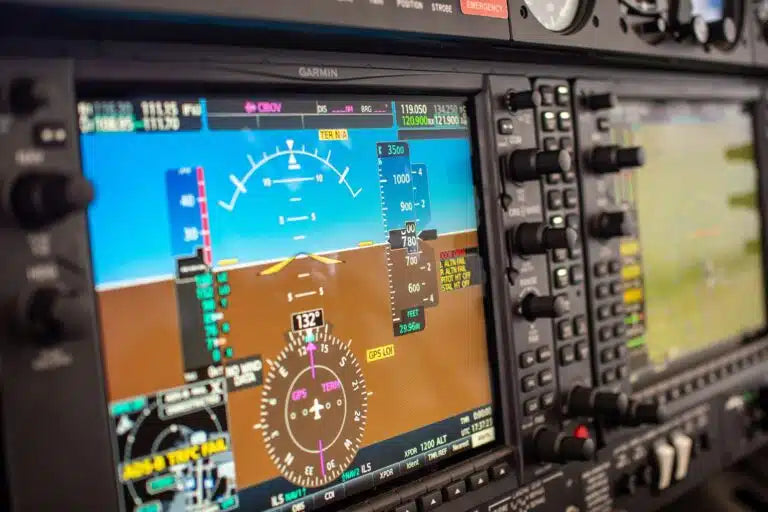
INS provides continuous navigation without external signals
An inertial navigation system continuously calculates a vehicle’s position, velocity, and orientation using onboard inertial sensors and processing algorithms. Because it operates independently of external infrastructure, an INS can maintain navigation data even when GNSS or GPS signals become unavailable.
This makes INS technology especially valuable for aircraft, defense systems, marine vessels, and autonomous platforms operating in environments where satellite navigation may be disrupted, jammed, or completely denied.
INS delivers precise positioning and guidance
An INS combines accelerometers, gyroscopes, and advanced computation to provide highly accurate navigation and motion awareness in real time. By continuously tracking movement and orientation, it enables reliable guidance and control for mission-critical systems.
This level of precision is essential for applications such as aircraft flight control, autonomous vehicle navigation, targeting systems, and industrial positioning where even small navigation errors can have significant operational impact.
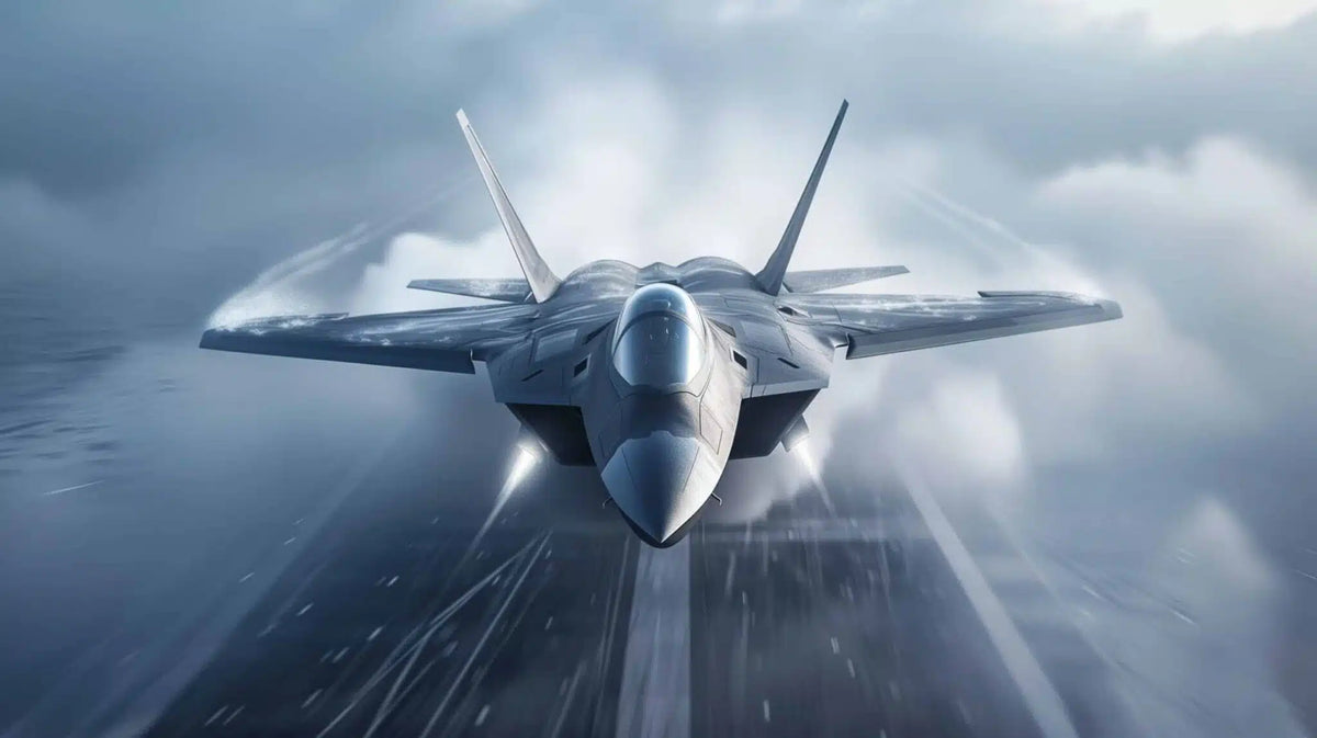

INS performs reliably in challenging environments
Inertial navigation systems are designed to operate in demanding conditions where external navigation systems may struggle to perform consistently. Because an INS is fully self-contained, it can continue delivering stable navigation data through vibration, extreme weather, underwater operation, or contested environments.
This reliability makes INS solutions critical for aerospace, defense, maritime, and autonomous applications that require dependable navigation performance under all operating conditions.
Use Cases for Inertial Navigation Systems
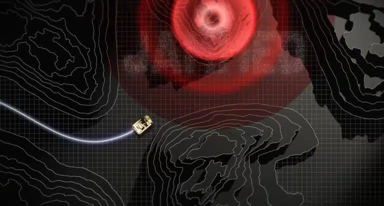
GPS-Denied Environments
Gyroscopes detect and correct unwanted motion, keeping platforms stable and level in drones, cameras, and vehicles operating in dynamic environments.
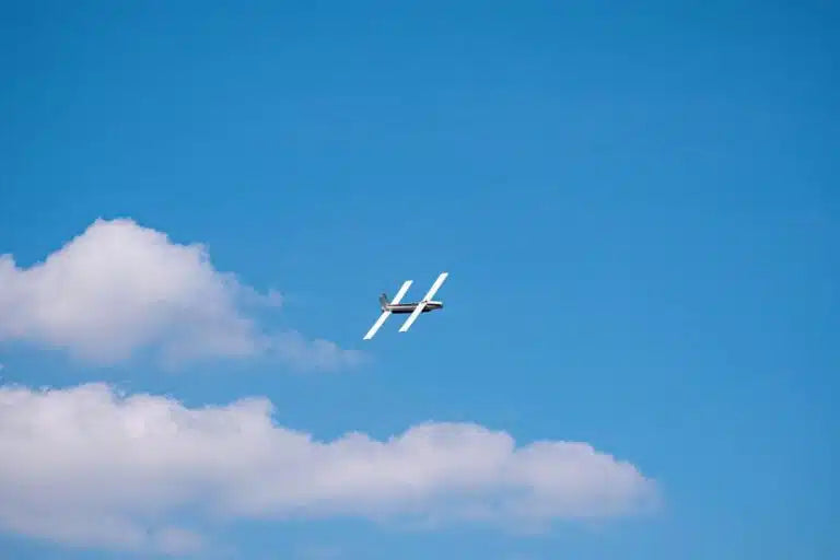
Autonomous Vehicle Control
INS provides real-time positioning and motion tracking for autonomous systems, supporting accurate navigation, route control, and operational safety in dynamic conditions.
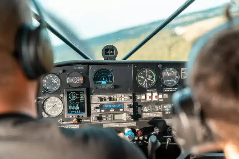
Aircraft Flight Navigation
INS delivers precise navigation and attitude data for commercial and military aircraft, supporting flight control, route guidance, and mission continuity during signal loss.
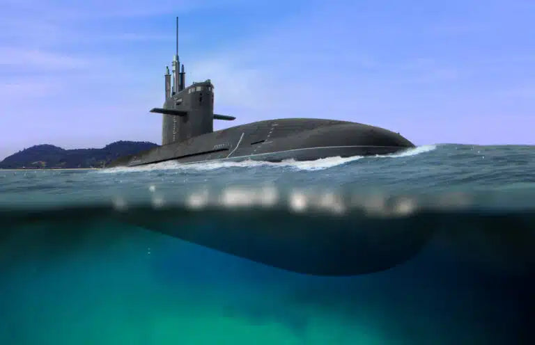
Marine & Subsea Routing
Dependable navigation for ships, submarines, and underwater vehicles operating where GNSS signals are weak, unavailable, or completely inaccessible.
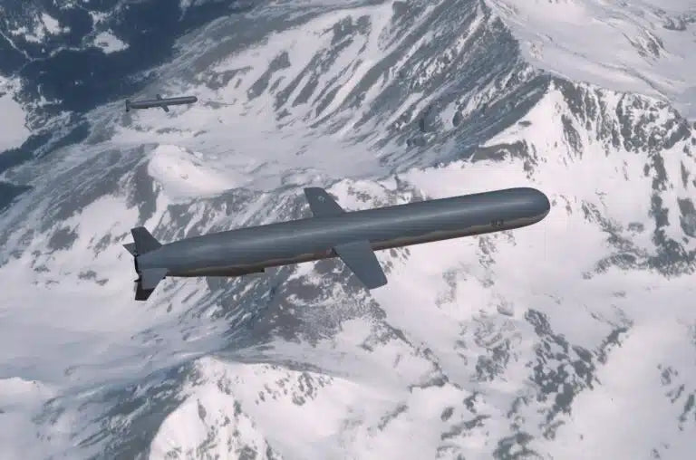
Missile & Defense Guidance
With a robust INS, there is continuous positioning and orientation data for missiles and defense platforms, ensuring accurate targeting and trajectory control during high-speed operations.
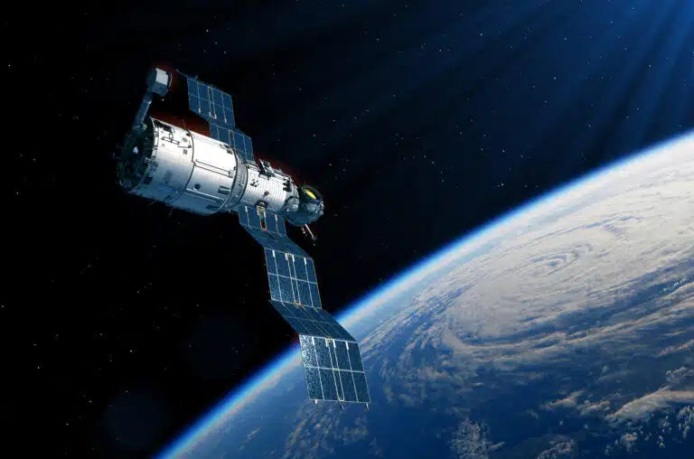
Spacecraft Navigation & Guidance
INS provides precise positioning, orientation, and trajectory data for launch vehicles, satellites, and spacecraft, supporting reliable guidance and control throughout demanding space missions.
HRG-Based INS Inertial Reference Systems
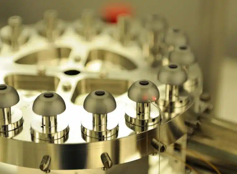
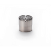
Safran’s HRG (Hemispherical Resonator Gyro) Crystal™ is a high-performance, solid-state navigation sensor used to measure rotation in aircraft, ships, and vehicles. Known for its extreme reliability, it has no moving parts and boasts over 15 million operating hours in military applications, offering an alternative to traditional navigation systems.
An inertial navigation system (INS) is a high-tech navigator using motion and rotation sensors with a computer. It helps determine the location, movement, and speed of an object. Dead reckoning, an INS method for knowing positioning, calculates an object’s position and orientation based on its starting location. With this, people in airplanes, submarines, or spacecrafts can guide and keep track of their location without GPS signals. Safran INS systems work with highly accurate and high performance technology to ensure you’re ready for any situation, including optional NavWar to combat jamming, spoofing, and meaconing.